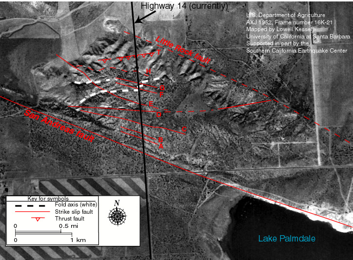
Aerial photograph with fault and fold structures mapped on it.
|
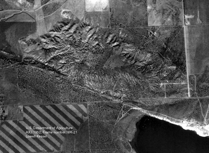
1952 Aerial photograph showing the area prior to construction of highway 14 and excavation of the road cut. San Andreas fault trace extends from center of left side of image, southeastward through white area along the north shore of Lake Palmdale to lower right corner of image. |
|
|
Aerial photograph with fault and fold structures mapped on it. |
|